Surveying terms you’ve maybe heard of – what they mean and how they work
Scale factor. It’s something we’ve written about before and yet it is still one of the top search results on our website so we thought we’d delve a little deeper and look at a few of the topics that seem to crop up a lot!
So what is scale factor in surveying?
For end users of surveys, scale factor is probably not something they’ve thought about (or even know about) – it is a criminally under acknowledged part of what we do as surveyors.
In essence, a scale factor is a number that we calculate to determine the difference between measurements in a national coordinate system (grid) and measurements in the real world (ground).
The scale factor is what we use to help deal with distortions when projecting a curved surface onto a flat plane. Think of it like an orange peel. The earth is the orange and the peel is the area you are surveying. The process of flattening the orange peel must be systematic to be accurate. Because the earth is round, the scale factor is crucial to consider as it affects the measurements taken and can result in errors if not evaluated correctly.
In the UK, we use the OSGB36 coordinate system, which is the national grid system for mapping and surveying. The scale factor is different at each point on the grid, and varies when compared with latitude and longitudinal lines. So what we can take from this is that the scale factor in Aberdeen is different to the scale factor in Devon and if we fail to take this into account then it can result in errors in measurements and ultimately the survey results.
For the end user of the survey, if the scale factor hasn’t been considered, while the measurements may be accurate in both grid and ground, if they mistake one for the other then their understanding of what is happening on the ground will be incorrect.
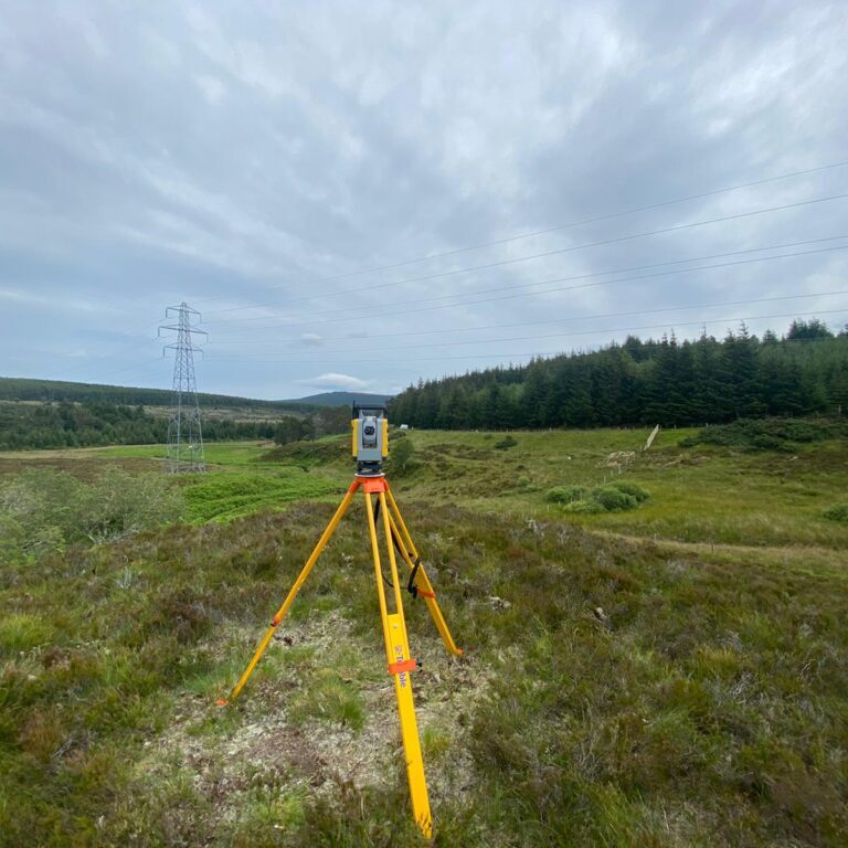
For example, if a surveyor measures a distance of 1000 metres on the ground using a total station the same distance between the same two points may appear differently on the drawing if that drawing has been produced in OSGB36 using GNSS equipment. At my current location, this will have a difference of about 400mm over the 1km length. Whilst this might not make much of a difference if your site is 50m wide, it’s clear how this sort of error could cause significant issues if you’re building new roads or bridges!
RICS Accuracy Bands – How much detail is needed?
Another search term that pops up often is the RICS accuracy bands. While the accuracy band table doesn’t determine the level of detail shown for each feature, it does indicate the minimum size of a feature that will be shown true to scale. This is something that clients can customise although we find bands D-E to be the sweet spot! This is what most surveyors can realistically achieve as bands A-C are more time consuming and require specialist equipment and for most clients this level of detail is not necessary.
We survey features (such as trees) by the minimum number of points required to show their geometric position or extents. Obviously, the final output for the client dictates this but in general, for an accurate point cloud survey/CAD or Revit model, bands D-E are more than sufficient.
Finally, what exactly is a point cloud survey?
Rounding off our FAQ’s, let’s take a look at point clouds. What is a point cloud survey? It is (in the most layman’s terms possible) a ‘cloud’ of hundreds and thousands and even billions of points. As a minimum, these points each have an X, Y and Z coordinate.
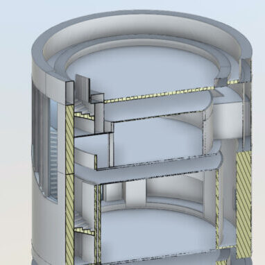
We use point clouds to build up a picture. These can be in greyscale or colourised (although colour point clouds are much larger in file size!) Using the geometry from the point clouds, we can produce line drawings and 3D models in programmes such as Revit, Civil 3D or AutoCAD.
How do we do this? To capture points we use a variety of instruments, mainly laser scanners. There are two ways to do this; static LiDAR (light detection and ranging) or dynamic LiDAR. For static LiDAR, we set up a scanner in the middle of our scene. The scanner will then take hundreds of thousands of measurements a second, firing out a laser beam in a 360-degree sphere and measuring the length of time it takes to bounce off an object and return to the scanner. The system then calculates the coordinates of those measurements and provides a point cloud.
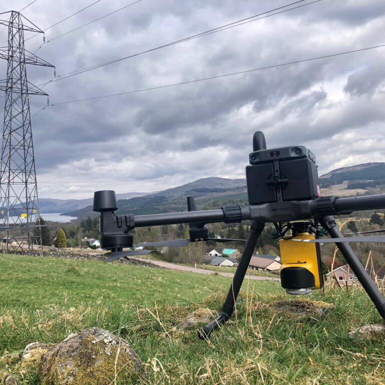
We utilise dynamic LiDAR when surveying large areas. We do this by mounting the sensor on a drone and flying it over the area in question, this allows us to continually scan and cover a wider range in a shorter space of time. We can also mount scanners on vehicles to survey roadways.

Any further questions?
That was our whistle stop tour of surveying FAQ’s. Drop a comment to let us know what other topics we should cover!
