Point Clouds

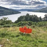
a small red wingtra plane preparing for take-off on an island on a wide river

Jan 6 2022

Point Clouds

Point Clouds: What They Are, How We Make Them and How to Use Them

Here at Adaptive Surveys, we specialise in all-things point cloud. Whether we’re surveying highways or scanning buildings, the majority of our instructions will involve a point cloud at some point ...
Read More

Categories

Recent Posts

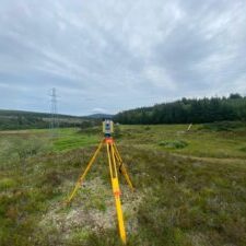
an image of a a viewing box tripod in the countryside

Understanding Scale Factor in a Measured Survey

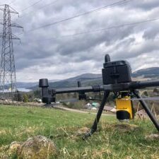
a large drone with LiDAR put on a grassy land on a cloudy day

How accurate are drone surveys?

an image of the inside view of an empty tall cylindrical building

Bim and I

a small red wingtra plane preparing for take-off on an island on a wide river

Point Clouds: What They Are, How We Make Them and How to Use Them