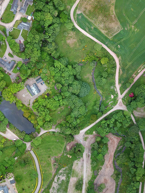
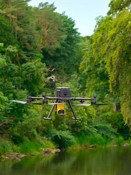
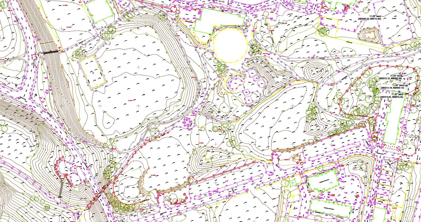
Our surveyors are fully qualified to operate some of the most advanced Unmanned Aerial Systems available on the market. Coupled with our extensive list of remote sensing payloads our drone surveys can gather data in locations which have traditionally been inaccessible to surveyors.
With accuracies in the region of +/-50mm for soft surfaces, and +/-30mm for hard surfaces, drone surveys can provide enhanced efficiency in the field when combined with traditional QA/QC methodologies.
Whether we are deploying photogrammetry or drone LiDAR methodologies, we produce data our clients can depend on.


