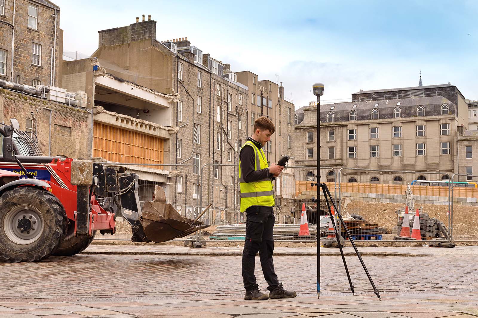
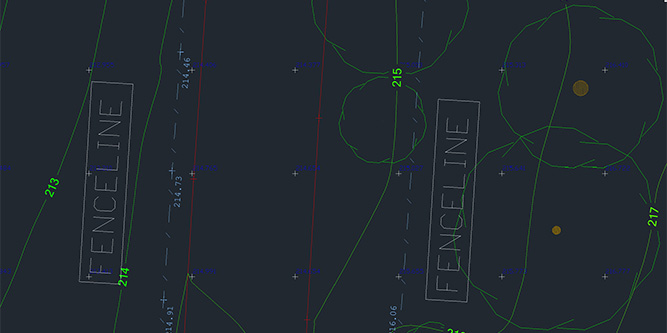
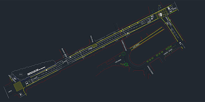
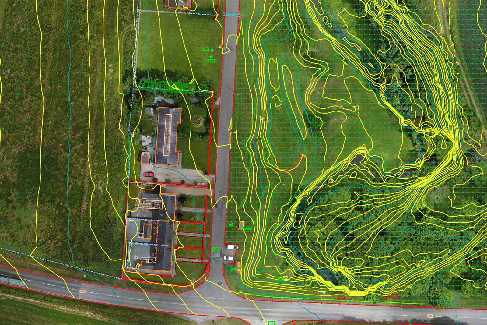
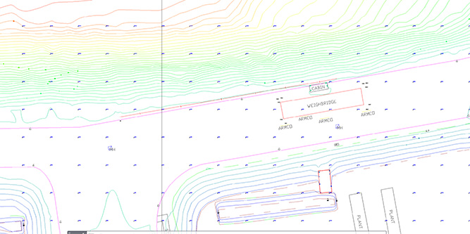
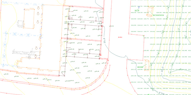
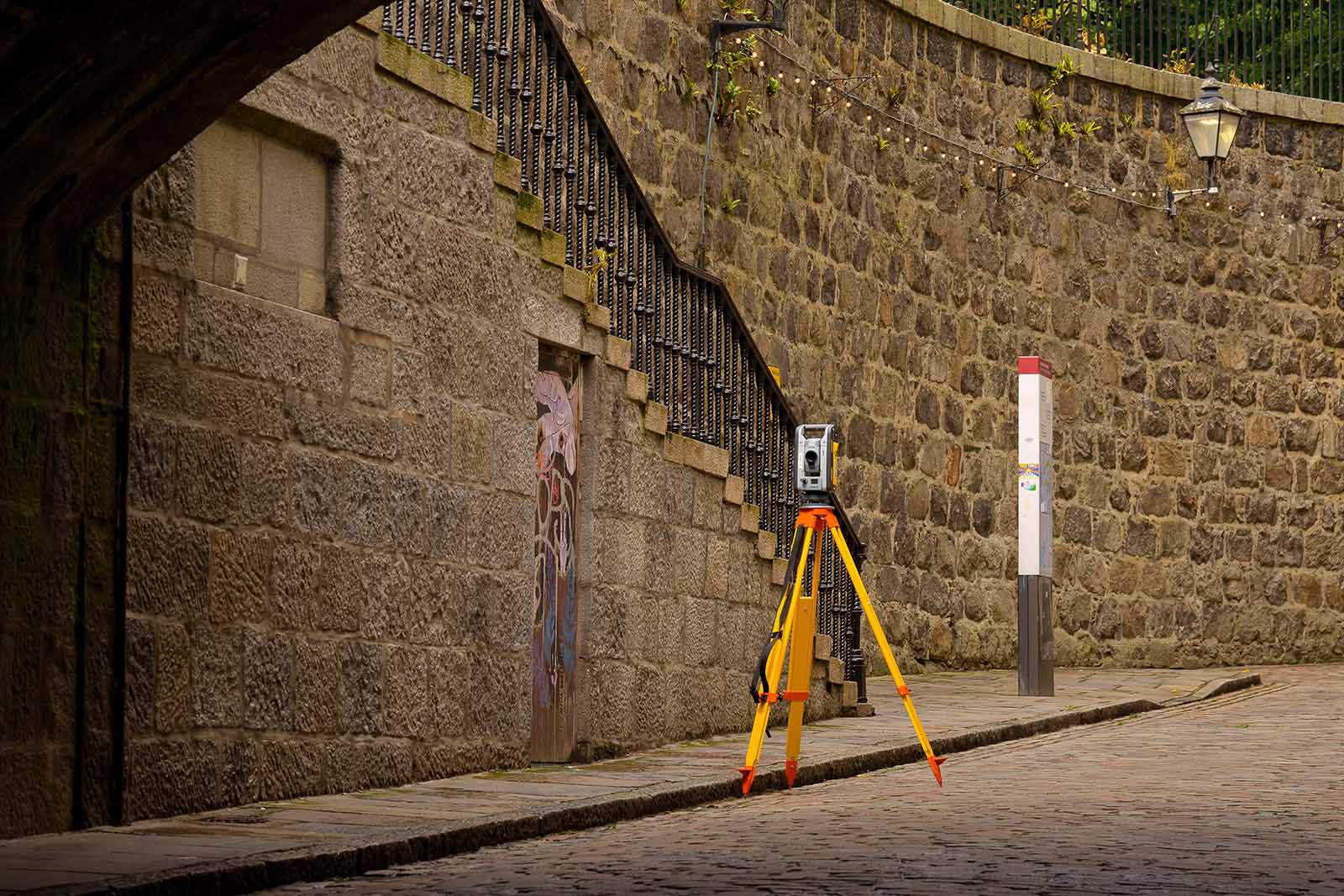
Adaptive Surveys is leading the way in the production of land and measured building surveys throughout Scotland and beyond. Our teams use the latest technology complimented by traditional survey practice to produce accurate land surveys for a variety of industries.
Regulated by the Royal Institution of Chartered Surveyors (RICS) we use a simple, easy to follow instruction process to ensure we collect the correct information at the appropriate scale and accuracy to suit your needs.
Whether you're looking for topographic surveys in a congested environment or setting out of your next construction project, Adaptive Surveys have the expertise to deliver.
