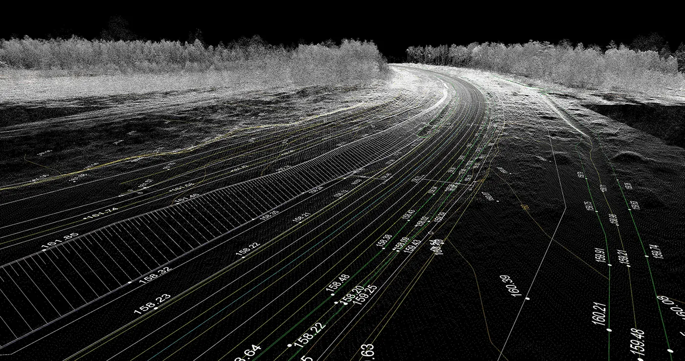
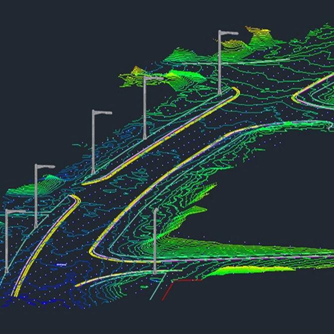
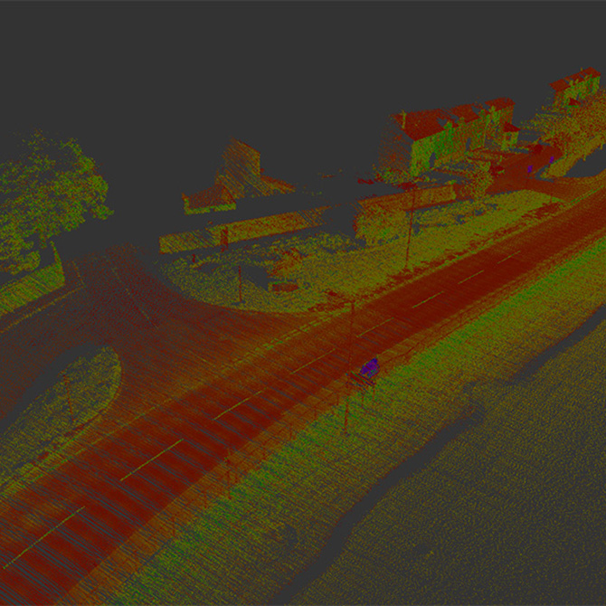
Mobile Mapping provides the next step in advanced survey practices. Utilising the latest in dynamic LiDAR sensing technology, our teams can cover over 150km of roadways daily with internal tolerances of +/-30mm without putting survey teams in harm’s way.
Whether you’re looking for reliable data for Swept Path Analysis or high-resolution datasets to assist with master planning exercises, Mobile Mapping provides a comprehensive picture of your environment.
Our teams comprise qualified Land Surveyors and geomatics experts with extensive experience in the field of Mobile Mapping and advanced survey practices, providing our clients with data they can truly rely on.


