Adaptive Surveys

General

PAS 128 Surveys Uncovered: How to choose your Survey Type

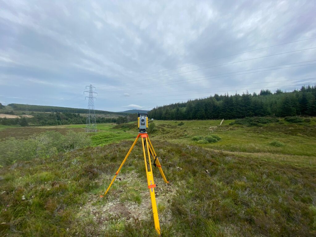
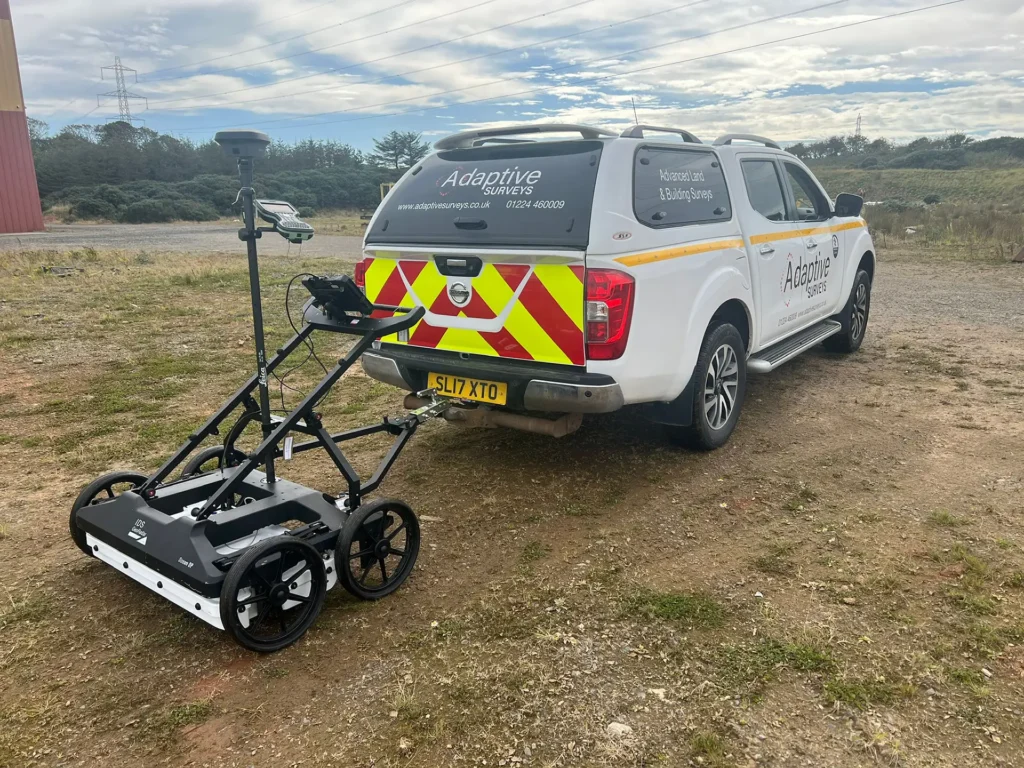
Following on from our previous blog about PAS 128, we’re going to talk about how to choose the right PAS 128 survey type. Let’s take a brief recap. The Four ...
Read More

General

Understanding PAS 128: The UK Standard for Underground Utility Surveys

If you work in construction, design or infrastructure, chances are you’ve heard the term PAS 128. But what does it mean? And why does it matter so much when you're ...
Read More

General

What does a CAD Technician do?

Before we start, what is CAD? CAD (Computer Aided Design) is in essence, drawings made with a computer. It can be used for 2D and 3D drawings and here at ...
Read More

General

Adaptive Surveys Launch Free Resource

Here at Adaptive Surveys, we create bespoke solutions for any project, whether clients are looking for a simple mass model or a full as-built model, we deliver highly accurate and ...
Read More

General

Surveying FAQ

Surveying terms you’ve maybe heard of – what they mean and how they work Scale factor. It’s something we’ve written about before and yet it is still one of the ...
Read More

General

Adaptive Surveys soars to new heights as the firm continues to grow

Now we’re into June we thought it would be a good time for an update! Four new team members have joined the ranks, with three surveyors now heading up our ...
Read More

General

Why choosing a RICS-regulated partner matters for your project

When preparing for a survey project, whether for construction, land development, or utility projects, choosing the right survey partner is essential to ensure accuracy, compliance, and long-term value. While it ...
Read More
an image of a a viewing box tripod in the countryside

General

Understanding Scale Factor in a Measured Survey

Ok, I'll admit it, this may not be a hugely exciting topic, but scale factors are one of the most commonly misunderstood and under-acknowledged aspects of what we do. Yet ...
Read More

Categories

Recent Posts

a large drone with LiDAR put on a grassy land on a cloudy day

How accurate are drone surveys?

an image of the inside view of an empty tall cylindrical building

Bim and I

a small red wingtra plane preparing for take-off on an island on a wide river

Point Clouds: What They Are, How We Make Them and How to Use Them