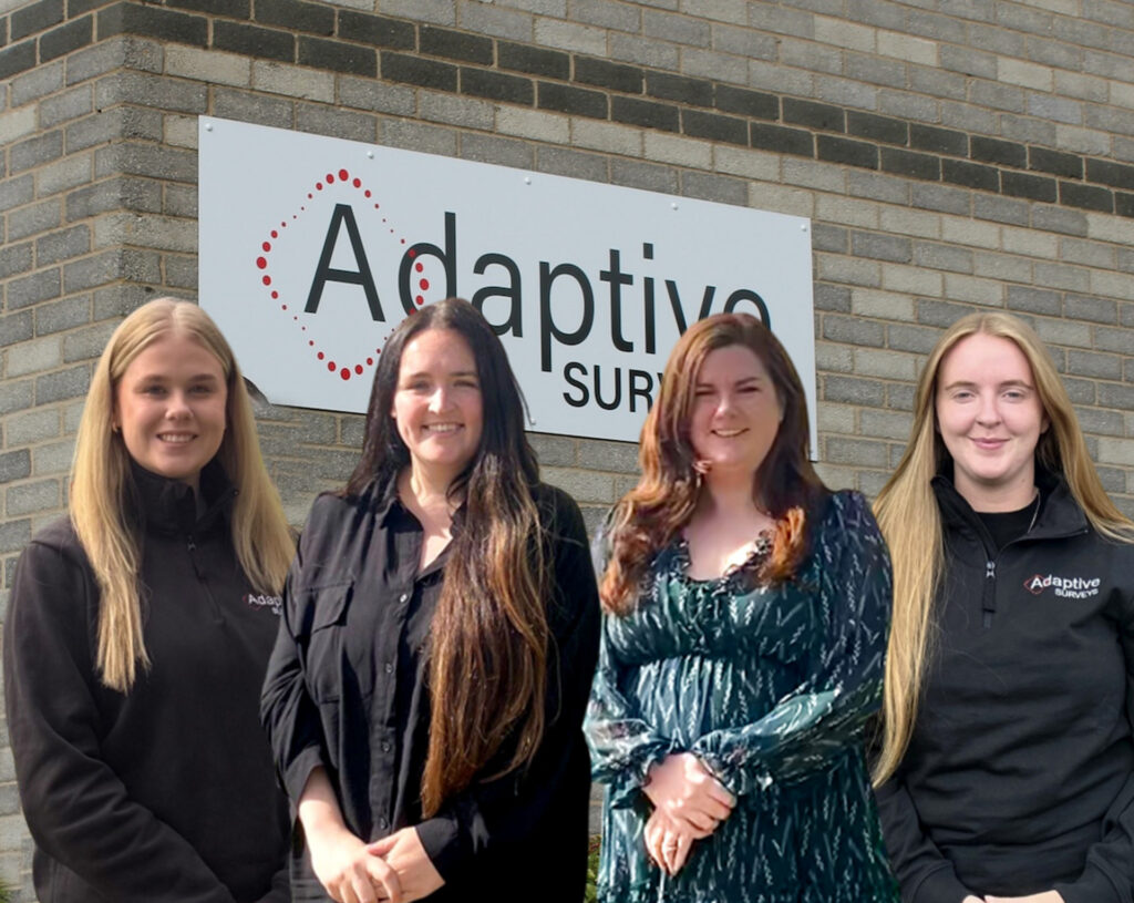
With just over 14% of the UK construction industry being female, we wanted to shine a light on the women of Adaptive this International Women’s Day. We sat down with ...
Following on from our previous blog about PAS 128, we’re going to talk about how to choose the right PAS 128 survey type. Let’s take a brief recap. The Four ...
If you work in construction, design or infrastructure, chances are you’ve heard the term PAS 128. But what does it mean? And why does it matter so much when you're ...
Before we start, what is CAD? CAD (Computer Aided Design) is in essence, drawings made with a computer. It can be used for 2D and 3D drawings and here at ...
Here at Adaptive Surveys, we create bespoke solutions for any project, whether clients are looking for a simple mass model or a full as-built model, we deliver highly accurate and ...
Surveying terms you’ve maybe heard of – what they mean and how they work Scale factor. It’s something we’ve written about before and yet it is still one of the ...
Now we’re into June we thought it would be a good time for an update! Four new team members have joined the ranks, with three surveyors now heading up our ...
When preparing for a survey project, whether for construction, land development, or utility projects, choosing the right survey partner is essential to ensure accuracy, compliance, and long-term value. While it ...
Ok, I'll admit it, this may not be a hugely exciting topic, but scale factors are one of the most commonly misunderstood and under-acknowledged aspects of what we do. Yet ...
This is probably the number 1 question we get asked by our clients. Whilst the answer isn't straight-forward, we thought we would provide some guidance to those looking to instruct ...
To provide the best experiences, we use technologies like cookies to store and/or access device information. Consenting to these technologies will allow us to process data such as browsing behavior or unique IDs on this site. Not consenting or withdrawing consent, may adversely affect certain features and functions.
Functional
Always active
The technical storage or access is strictly necessary for the legitimate purpose of enabling the use of a specific service explicitly requested by the subscriber or user, or for the sole purpose of carrying out the transmission of a communication over an electronic communications network.
Preferences
The technical storage or access is necessary for the legitimate purpose of storing preferences that are not requested by the subscriber or user.
Statistics
The technical storage or access that is used exclusively for statistical purposes.The technical storage or access that is used exclusively for anonymous statistical purposes. Without a subpoena, voluntary compliance on the part of your Internet Service Provider, or additional records from a third party, information stored or retrieved for this purpose alone cannot usually be used to identify you.
Marketing
The technical storage or access is required to create user profiles to send advertising, or to track the user on a website or across several websites for similar marketing purposes.