Client
Utilities – Overhead Lines
Delivery
June - 2022
Project Type
Drone Survey
Location
Killin, Perthshire
Scope
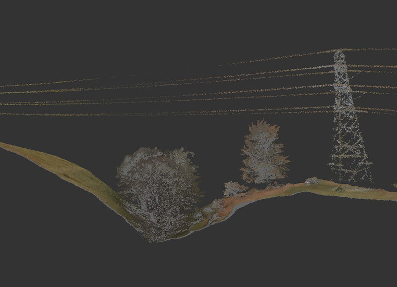
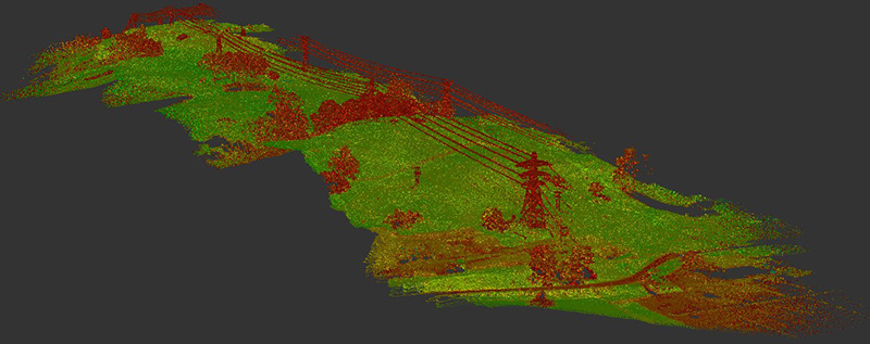
Adaptive Surveys were contracted to survey approximately 25km of 400Kv overhead lines for a major utilities company. The resulting data was to be used to assist with designing alterations to the route together-with analysing any vegetation clearance issues. An accuracy of +/-50mm was requested with the deliverables being references to Ordnance Survey and Ordnance Datum Newlyn. A topographic DWG drawing and colourised point cloud were to be submitted to the client.

Solution
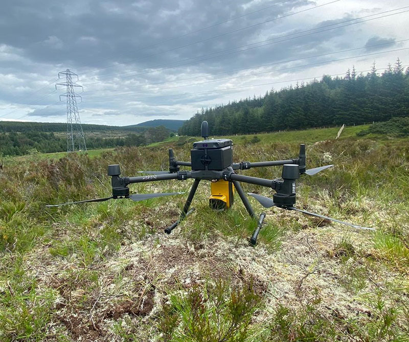
As the overhead lines traversed some spectacular yet difficult to reach terrain in central Scotland, it was decided that the most efficient way to collect data at the required scale and accuracy would be to deploy a UAV (drone) with a LiDAR payload. All our surveyors are CAA approved drone pilots with extensive experience in the safe operation of these advanced systems. Coupled with their advanced geomatics knowledge, drone LiDAR allows our teams to gather holistic datasets in a fraction of the time it would take to manually walk large routes.
Approximately 35 flights were undertaken safely by the team over the course of several days with the data being put through our QA/QC process on site at the end of each mission. To ensure the required accuracies were maintained throughout the survey area, NRTK GNSS was deployed to install ground control points in addition to ground check grids.
Once the team had de-mobilised from site, all data was post-processed in the office and a further QA/QC analysis was undertaken.
The deliverables for this project included a colourised point cloud, a DTM at 5m intervals in .DWG format and an orthomosaic image. All were referenced to OSGB36 via OSTN15 and to ODN.

Benefits
Drones with LiDAR payloads offer a substantial reduction in on-site time whilst providing a higher level of detail than traditional GNSS methods can provide. Throughout the route approximately 1.2bn individually measurable points were collected allowing for a customised grid of elevations to be produced. The ability to create orthomosaic imagery allows for a further degree of context whilst the remote nature of the technology removes the need for personnel to be in potentially hazardous areas.
- High-resolution data
- Cost and time efficient
- Flexible data outputs
- Orthomosaic imagery for further context
- High-accuracy survey data
- Ordnance Survey or local grid outputs can be created
