Client
Quarry Operator
Delivery
June 2021
Project Type
Drone Surveys
Location
Aberdeenshire, Scotland
Scope
Adaptive Surveys undertake repeat drone surveys for a renowned quarry operator based in the North East of Scotland. The data obtained from these surveys on a quarterly basis is used for a variety of purposes such as stockpile volumetric analysis, route management, drainage modelling and land planning.
Traditionally, this would have been achieved by surveyors traversing awkward stockpiles on foot with GPS equipment and Total Stations. This approach is dangerous and relies upon significant levels of interpolation to calculate stockpile volumes.
By utilising our drone systems in conjunction with ground control workflows, our surveys are accurate, safe and take a fraction of the time without putting personnel in hazardous environments.

Solution
Works were completed in the same day of mobilising to site. Ground Control Points and check grids are required throughout the area of interest to provide a QA/QC analysis. Without GCPs, the captured data cannot be verified as accurate.
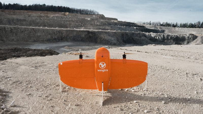
Two flights were completed using a Wingtra VTOL system. The vertical take-off and landing feature of the Wingtra system provides the perfect platform for quarry surveys and allows us to operate in relatively small spaces without damaging the aircraft.
Both flights take around 30 minutes each and collect over 2000 high-resolution images. Following completion of flights, the data was processed using PPK workflows and verified by analysing the point cloud against ground control and check grids to ensure accuracy.

Benefits
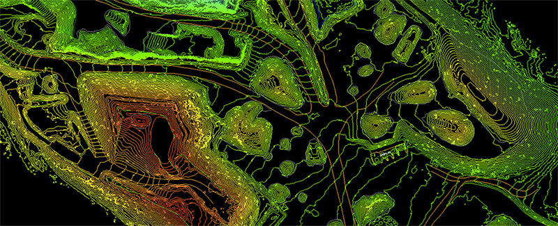
With the point cloud and orthophotos supplied, Adaptive were able to create digital terrain models, analyse stockpile data volumes and track progress across the quarry for future operations. Compared with traditional methods, drone surveys of this nature produce a much higher degree of accurate information from which any measurement can be taken.
Traditional methods would involve hazardous exercises such as climbing stockpiles or being in the same area as heavy machinery. By utilising drones, we can survey from a safe location and let the system do the hard work.
- Measure stockpiles more often for a fraction of the cost of traditional methods
- Holistic datasets
- Remove personnel from potentially hazardous locations
- Quick turnaround of data