Client
Construction – Cladding Contractor
Delivery
August - 2022
Project Type
Laser Scanning & Drone Survey
Location
Manchester, England
Scope
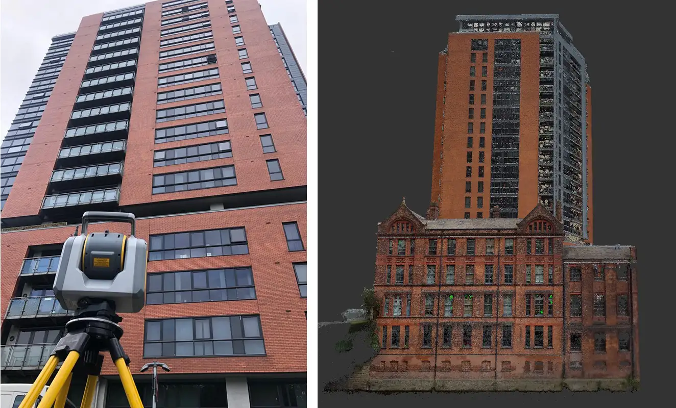
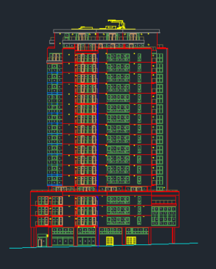
Our client required detailed elevations drawings of an 18-storey apartment block in central Manchester. CAD drawings of each façade of the tower block were required to aid in the planning and restoration works of the external cladding on the building. Detailed imagery of the facades was also required to provide further context as to the existing building features, materials, and nature of the existing cladding on the building.

Solution
Laser scanning the externals of a building over 60m tall presents a unique set of challenges and our experienced team were able to overcome these using a bespoke solution. Using traditional traversing techniques our team established a ground control network around the building identifying suitable locations from which to scan each facade. A long-range scanning total station was then deployed to scan the full extents of the building. Over 60 individual laser scans were completed from various locations and distances around the tower.
With the steep angles of the tall building creating shadow areas in the laser scanning point clouds, our team deployed lightweight UAVs suitable to fly in congested areas to take over 1200 photos of the tower elevations, covering all key areas requested by our client. These images provided the high-level contextual detail critical for our clients project review while also being used to generate photogrammetry infill for the shadow areas in the terrestrial point clouds.
Following field survey the traverse and laser scans were reduced in specialist surveying software, generating an accurate, high resolution homogenous point cloud. The images captured from the drone survey were processed in specialist photogrammetry software to generate a high-resolution point cloud covering the areas shadowed in the ground based laser scanning surveys. By using the ground-based laser scans as fixed control and references for the photogrammetry image stitching, a seamless blend between photogrammetry point cloud and terrestrial laser scans could be achieved ensuring a holistic, detailed point cloud of the building ready for CAD elevation modelling.

Benefits
By combining traditional survey control networks, laser scanning, drone imagery and photogrammetry techniques, our team was able to produce high resolution and accurate point clouds, CAD elevations and UAV imagery for our client. This unique blend of technology allowed us to produce a holistic dataset which saved our client time and money while ensuring a safer working and living environment for the building residents.
- Safe and efficient collection of detailed information
- Infill of inaccessible areas to ground survey
- Contextually rich point clouds and imagery
- Holistic data sets
- Multiple deliverables from one survey
- Reduced need for site revisits
- Make better decisions with better data
- Bespoke solutions