Client
Design & Construction – Commercial & Retail
Delivery
October 2022
Project Type
Laser Scanning Survey
Location
Edinburgh, Scotland
Scope
To aid with the design and construction of high rise commercial and retail buildings, our client required the accurate location of a large underground sewer and drainage pipe running through the site. The pipe was approximately 9 metres underground, 1.4 metres in diameter and 100m in length between an access chamber at one end and a vortex chamber at the other end. Previous underground location techniques using EML and GPR as well as survey using modern SLAM methods had provided conflicting results and our team were engaged to provide a definitive answer as to the location, depth and orientation of the pipe. All data was to be referenced to Ordnance Survey (OSGB36 via OSTN15) and to Ordnance Datum Newlyn (ODN) with recoverable control required in addition.

Solution
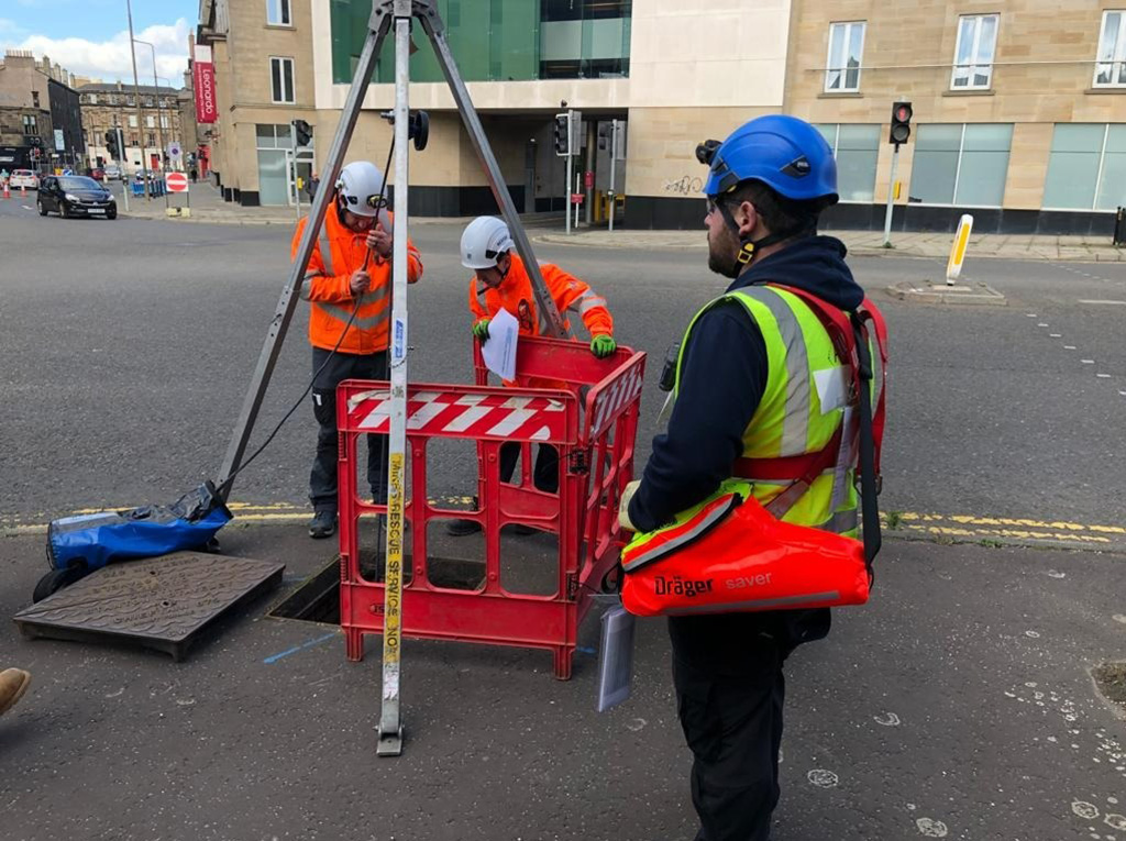
Determining the orientation of a 100m pipe while working within a circular confined space 10m underground presented some unique laser scanning challenges for our team. Surveying equipment, methodology and some out of the box thinking were key to overcome these challenges. Our team opted for 3D laser scanners as these would provide a total data capture solution for the structure whilst allowing for the production of an accurate dataset. To produce a georeferenced output, GNSS receivers were also deployed together-with Trimble SX12 scanning total stations. This wide range of surveying equipment would allow the team to overcome any challenges and ensure complete coverage of the area of interest.
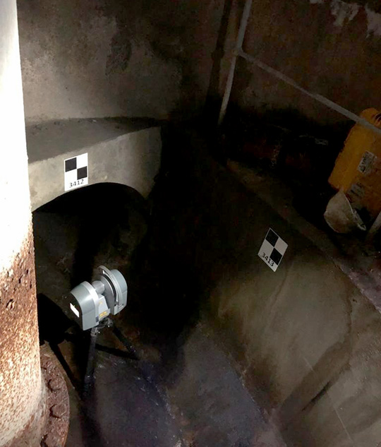
To ensure reliable scan registration within the circular, featureless chamber environment our team used targeted registration methods to link the 3D scans within each chamber level and finally to the surface. Our terrestrial laser scanners allowed for detailed scans within the chambers while ensuring that scans at the pipe openings would return from the chamber at the other end over 100m away with good resolution. Control was established on the surface at both entry chambers to Ordnance Survey using Trimble R12i GNSS equipment and linked to the underground scans via targeted control. Utilising scanning total stations from the surface provided accurate targeted observations along-with detailed point clouds to compare the registration to. Inverted laser scans from the surface above the entry manholes provided a linking dataset from to the sub-surface environment.
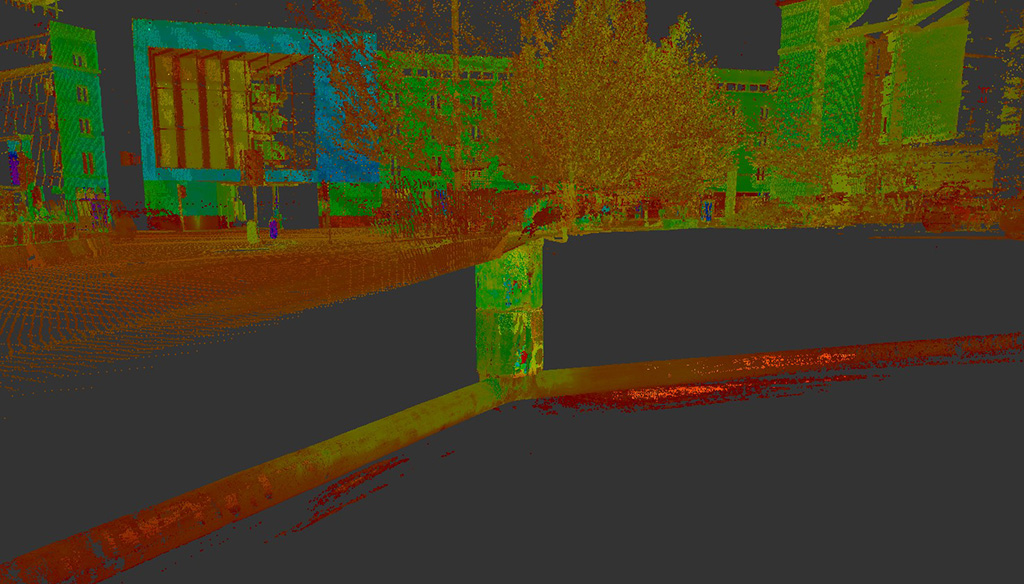
Point cloud processing requires a degree of independent control to ensure accuracy and once our team had demobilised from site, the survey data was processed in our office software, Trimble Business Centre. This process finds commonality between overlapping 3D data and ‘stitches’ the dataset together to produce a single point cloud. By incorporating the independent control network into the workflow, the accuracy of the deliverable is enhanced and a QA/QC report was produced showing an achieved internal tolerance of +/-5mm.
After the data-rich point cloud and accompanying CAD files had been submitted to our client, a project close-out meeting was held with all stakeholders. The survey process and deliverables were discussed amongst the project team and lessons learned were noted.

Benefits
Accuracy and completeness of the dataset was crucial to our client’s success and in this environment 3D laser scanning was an obvious choice.By offering a laser scanning survey based on a targeted control network, accurate and reliable data was delivered allowing our client to progress with construction confidently. The skill and knowledge of our survey personnel was crucial to the overall success of the project whilst our RICS regulation provided an enhanced level of assurance.
The point cloud provided an immersive environment feeding into design and BIM software including AutoCAD and Revit which will not only add value to the design and construction phase of this project but through the asset management and building life cycle as well.
- Efficient collection of detailed information
- Enhanced accuracy based on solid survey technique and methodologies
- Contextually rich point clouds
- Multiple deliverables from one survey through the project life cycle
- Reduced need for future site visits into hazardous and dangerous environments
- Make better decisions with better data with confidence
