Client
Civil Engineering
Delivery
July 2024
Project Type
Topographic Survey
Location
Kilmelford, Scotland
Scope
Our client was looking to undertake a flood risk analysis and subsequent design works relating to an area within a rural village in South West Scotland. A detailed topographic survey was requested to an accuracy of Band D in accordance with the RICS ‘Measured Surveys of Land, Buildings and Utilities’ guidance with the deliverables being 3D DWG files. The coordinate system was to be OSGB36 via OSTN15 and to Ordnance Datum Newlyn.

Solution
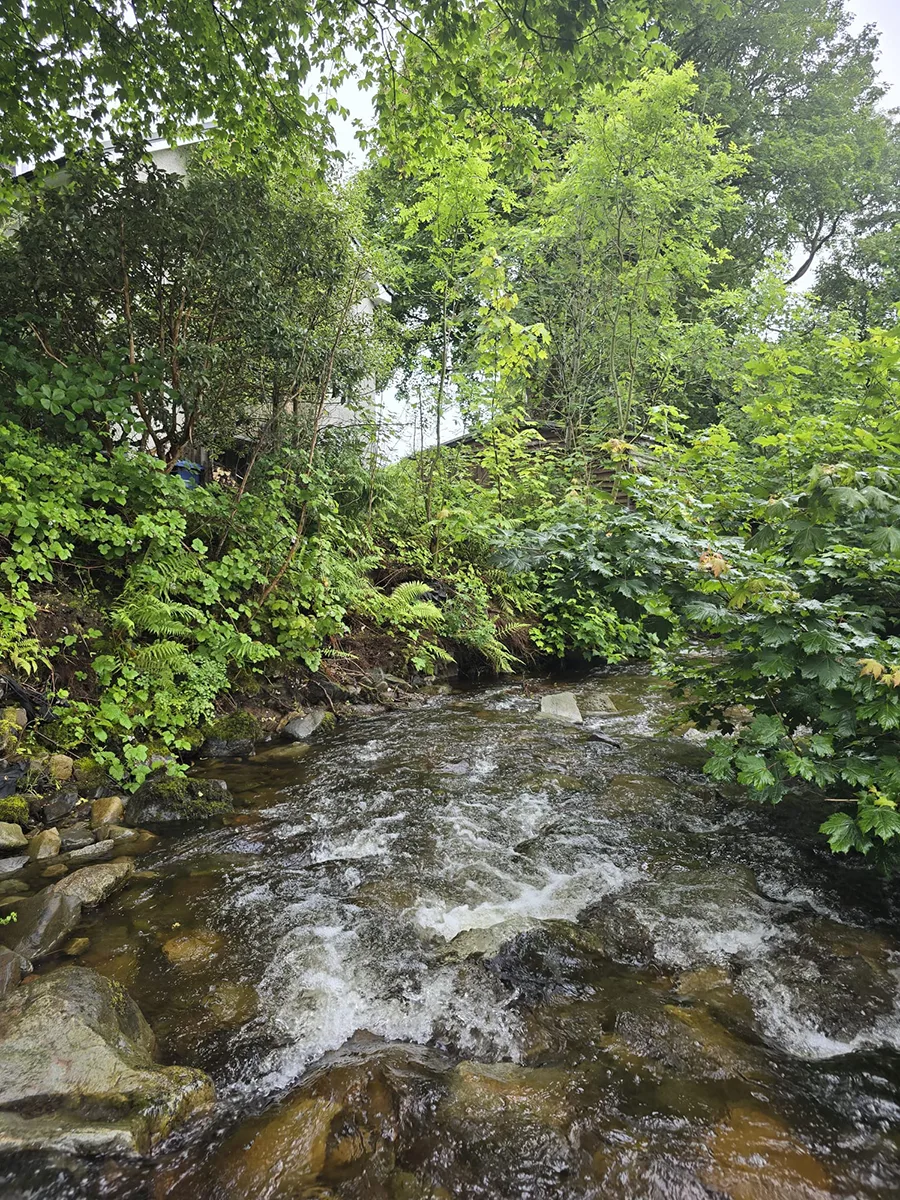
Adaptive Surveys are well-versed in multiple forms of survey methodologies with extensive knowledge in traditional topographic surveys. It was determined that the varied aspects of this scope would be best suited to total station and GNSS workflows, particularly given the difficult terrain and extensive vegetation throughout the Area of Interest.
After completing Point of Work Risk Assessments, our surveyor installed permanent control throughout the area using Type 1 markers and measured their coordinates by undertaking long-observations with our Trimble R12i GNSS. The locations of these control stations would be noted in the final drawing should the client or their sub-contractors need to recover them at a later date. These stations were then used in conjunction with our Trimble S6 total station to form the basis of all other measurements on-site.
Features such as building outlines, top and bottom of bank, water levels and general street furniture were measured to an accuracy of +/-5mm on hard detail with our surveyor meticulously and logically covering the area of interest to ensure complete coverage.
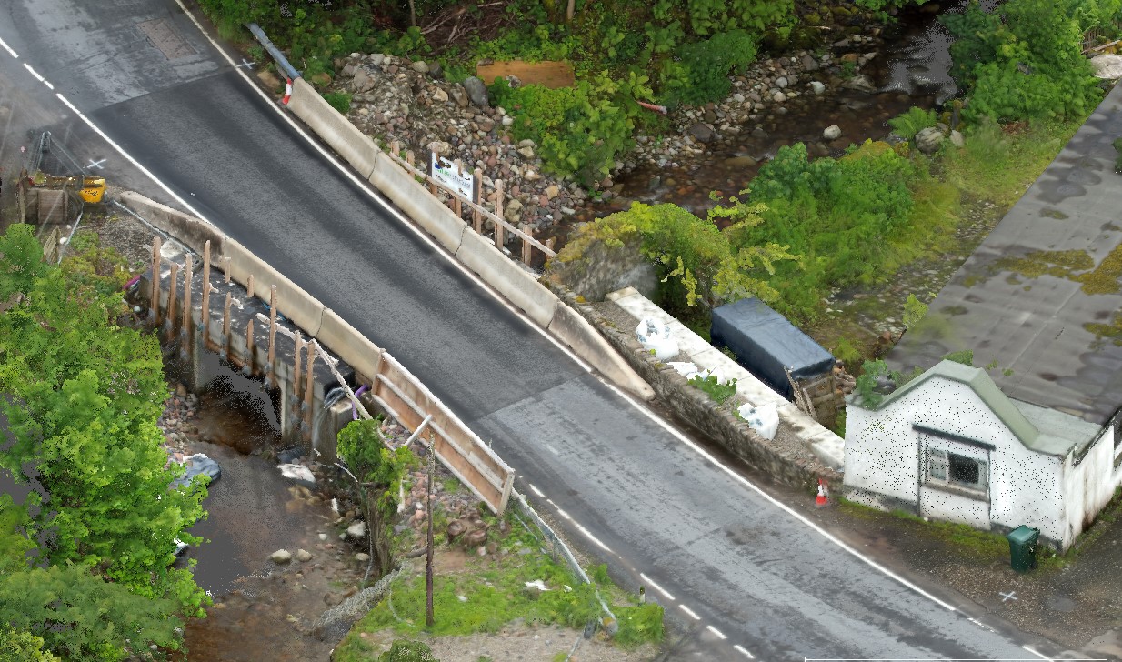
Whilst 3D DWG drawings provide intricate detail of an area of interest, the overall context of a location can be difficult to ascertain with the old saying “a picture is worth a thousand words” being of particular relevance here. Our surveyor therefore conducted a simple drone flight of the area which would be later used to produce a colourised point cloud and high-resolution orthomosaic image with the latter being used as an underlay image in the final deliverables.
After returning to the office our surveyor processed the raw survey data in Trimble Business Centre and LSS before refining the output in AutoCAD. All files were submitted to the client within 24 hours of returning from site.

Benefits
Although the survey industry has benefitted from extensive advancement in technology to include static and dynamic laser scanning and drone-based LiDAR, it is often the case that traditional methods are still the quickest and most accurate means of surveying an area. By relying on our significant expertise as a RICS Regulated Firm we were able to quickly and accurately collect measurements across the area of interest and produce the deliverables our client required. From initial instruction to project completion took 3 days in total allowing our client to start design works ahead of schedule.
- Quick turnaround of survey deliverables
- RICS Regulation providing peace-of-mind for our client
- UAV orthomosaic underlay for enhanced drawing context
- RICS Accuracy Band D easily achieved
- DWG deliverables for easy use in multiple design software packages
