Client
Town Planning
Delivery
June 2021
Project Type
Laser Scanning / 3D Modelling
Location
Aberdeen, Scotland
Scope
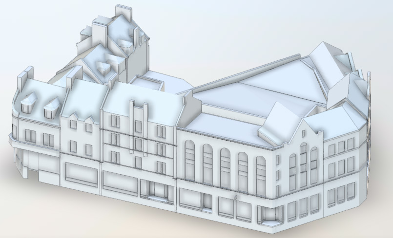
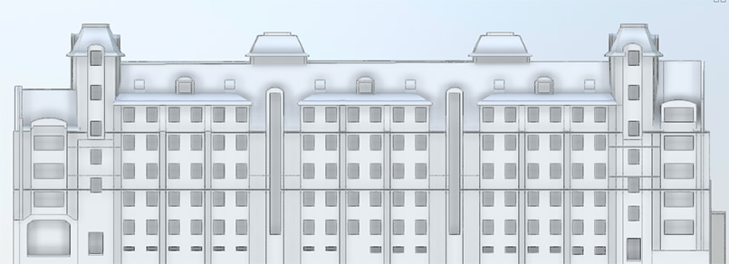
Our client required as-built surveys in the form of Revit models to LoD250 of the Aberdeen City Centre and environs. Topographic surveys in 3D DWG format of the roadways and footpaths in the Area of Interest (AOI) were also requested.
The models were to be used for master planning, asset management and stakeholder-engagement purposes and required an Internal tolerance of ~10mm. All surveys were to be referenced to a local coordinate system with the ability to align to the Ordnance Survey in the future.

Solution
Our teams are well versed in traditional forms of surveying coupled with modern laser scanning techniques. A LiDAR scanner/total station was used in the first instance to create a traversed control network throughout the AOI. As part of this process survey nails were installed and observed with RTK GNSS to allow for later adoption into OS if required. Laser scans were then collected during day and night shifts and in-filled with Trimble X7 LiDAR systems to provide a high-resolution point cloud referenced to the network traverse. All data was processed in the office to produce an RMSE of <8mm.
After the initial point cloud was complete Revit modelling could begin. Our team produced over 200 Revit models of individual buildings together-with streetscape models showing furniture and vegetation. 3D DWG topographic drawings of the streetscapes were produced using the same point cloud data set to ensure compliance with the client’s requirements.

Benefits
The volume of buildings and streetscapes contained within the AOI meant only using traditional forms of surveying would be inefficient whilst missing large areas of detail. When combined with control networks, laser scanning can provide a faster and more detailed approach to Measured Building Surveys ensuring a better outcome for the client. The provision of Revit models is a natural next step in the 3D surveying pipeline and the resultant information is well-suited to a variety of use cases.
• Rapid collection of detailed information
• Contextually rich point clouds
• Holistic data sets
• Ease of use within Asset Management Systems
• Reduced need for site revisits
• Make better decisions with better data
• Enhanced accuracy