Client
Transportation
Delivery
June 2021
Project Type
Drone Surveys
Location
Perthshire, Scotland
Scope
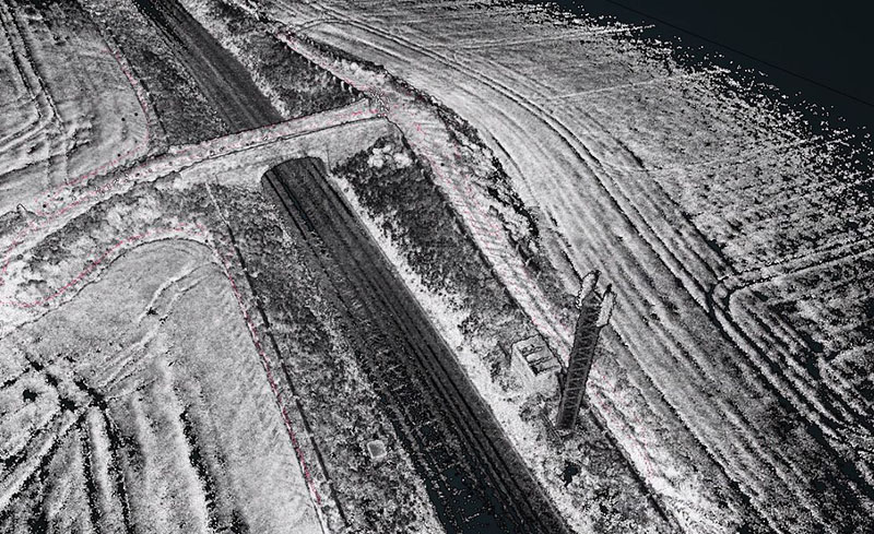
Adaptive Surveys were instructed to produce Digital Terrain Models (DTMs) and Digital Surface Models (DSMs) of approximately 5km of railway infrastructure near Bridge of Orchy, Argyll & Bute. The client required a resolution of 1pt/0.5m2 across the entire data set with the surveys being referenced to a locally installed control network. The required accuracy was +/-50mm.

Solution
Due to the limited time allowed on track a drone LiDAR survey was selected as the preferred method for data collection. The Adaptive Surveys team mobilised with a Velodyne VLP-32 system coupled with a DJI M600 UAV. After Ground Control Points were installed using a Trimble R8 total station based on the client’s existing control network the route was flown in 750m areas with 30% overlaps between each section. A minimum of 5 GCPs were visible in each section in addition to various check levels taken across the AOI.
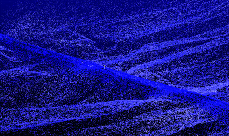
Once all data had been collected, the resultant point clouds were processed in the office to remove above-surface features such as vegetation and power lines. The DTM and DSM files were supplied to the client in .RCP format for direct incorporation into Autodesk products. Approximately 6 months after the initial models had been delivered the client requested all fence lines and adjacent overhead lines to be surveyed. These features were clearly visible in the raw point clouds and our surveyors produced the requisite drawings without returning to site.

Benefits
Capturing measurements in dense vegetation over large areas can be difficult with traditional methods such as total stations and GNSS antennas. LiDAR technology penetrates through vegetation to provide levels at ground level together with levels at the upper canopy level. By carefully removing erroneous points from the point clouds, accurate DTMs and DSMs can be easily produced.
- Save time and avoid extensive track possessions
- Produce high-resolution data sets showing true topography
- Cover large areas of terrain efficiently
- Holistic data capture
- No need for repeat visits if survey requirements change