Client
Renewable Energy
Delivery
June 2021
Project Type
Mobile Mapping
Location
Argyll, Scotland
Scope
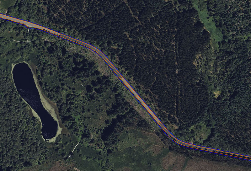
Adaptive Surveys were approached by a renewable energy developer to provide topographic surveys of c.90km of roadways on the Kintyre Peninsula. The client wanted to undertake a Swept Path Analysis (SPA) of the route to determine potential over-sails when transporting wind turbine blades and componentry.

Solution
The client requested the following features to be surveyed:
- Road edge
- Road centreline
- Walls / fence lines within a 5m distance of the road edge
- Extent of vegetation including elevations at 500mm intervals
- Building footprints
- Street furniture
- Overhead lines
- Grid of levels at 2m centres
- 2m and 2.5m offset line from road edge to determine potential highway boundaries
The required tolerance was +/-50mm across all surveyed features with data being referenced to OSGB36 via OSTN15 and to ODN.
An Adaptive Survey team deployed our bespoke Mobile Mapping LiDAR unit to produce a point cloud of the entire route with approximately 3.5billion points collected across the area of interest. Once the data was checked with a rigorous QA/QC process using independently collected ground control, 3D DWG drawings were produced to show all required features.

Benefits
To survey such an extensive area of interest traditionally using RTK GPS or total stations would entail months of on-site data capture along a busy roadway. By deploying our Mobile Mapping technology, the full route was captured in 3 days including the collection of ground control points. With a 360° field of view all aspects of the route are captured including with the true extent of vegetation and overhead lines. Furthermore, practically any grid of levels can be extracted and surfaces produced.
- Rapid collection of topographic information
- Reduce site time
- Reduce survey teams’ exposure to risk
- Holistic data capture process