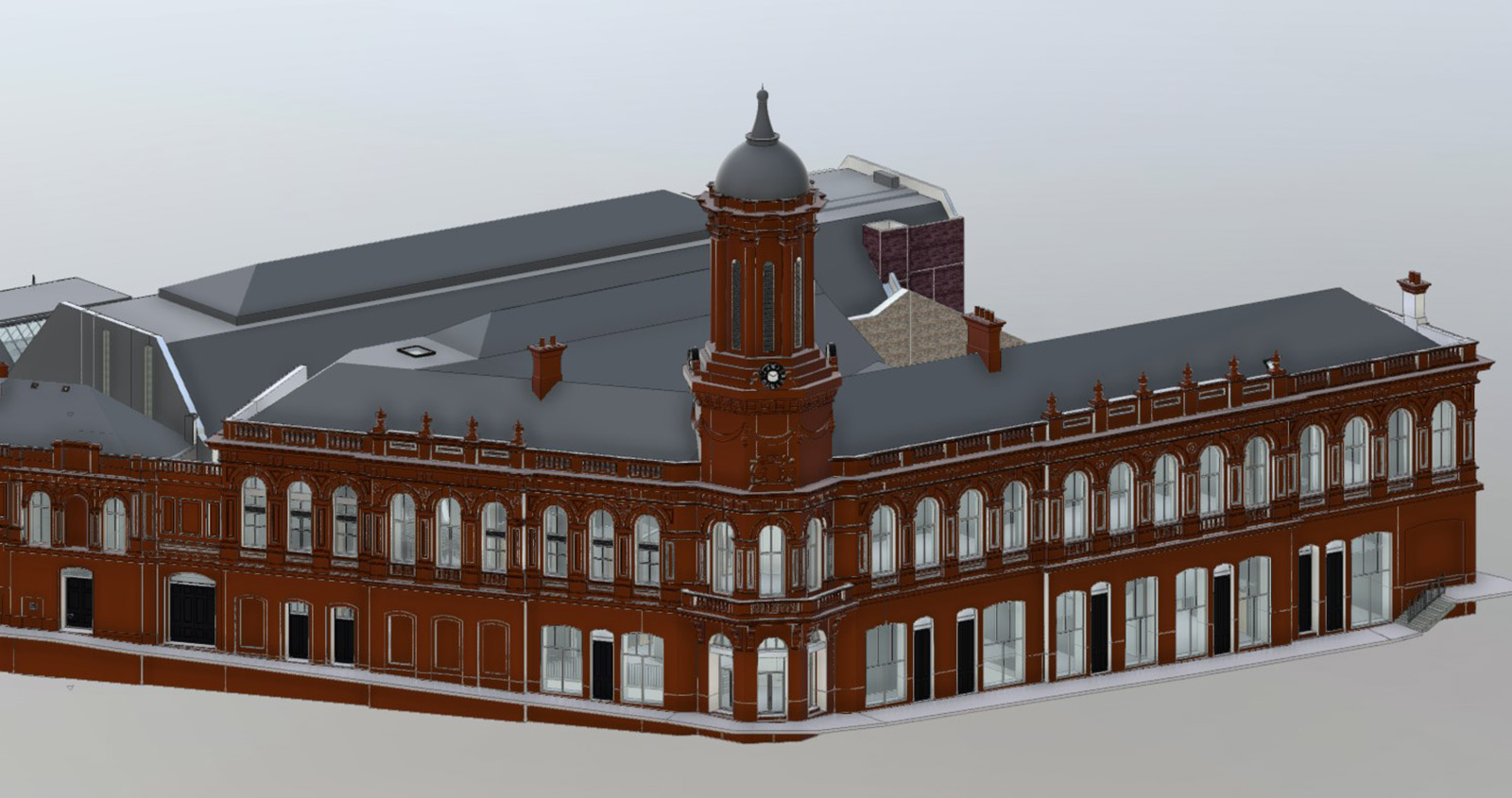
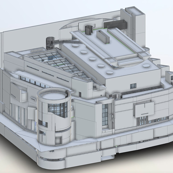
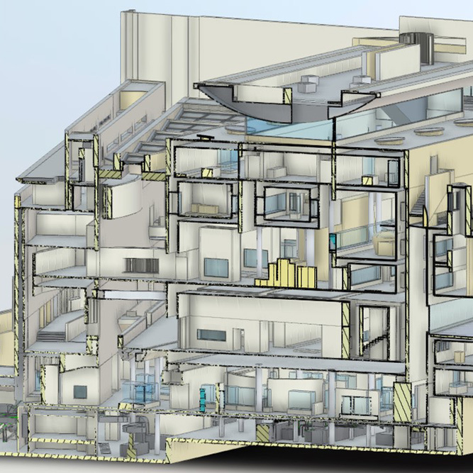
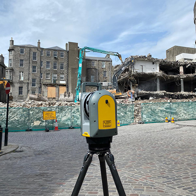
Our team of Chartered Surveyors & Site Engineers deliver highly accurate measured surveys utilising a wide range of laser scanning techniques. Building on our extensive experience in the geospatial industry we take the next step in laser scanning by combining the traditional with the new, bringing together the efficiencies of rapid data collection with the accuracy of traversed networks to provide datasets our clients can rely on.
Laser scanning builds a comprehensive dataset of your environment with billions of individually measurable points being collected across a standard survey. Our teams work globally to provide our clients with the very best laser scanning service in the built environment.
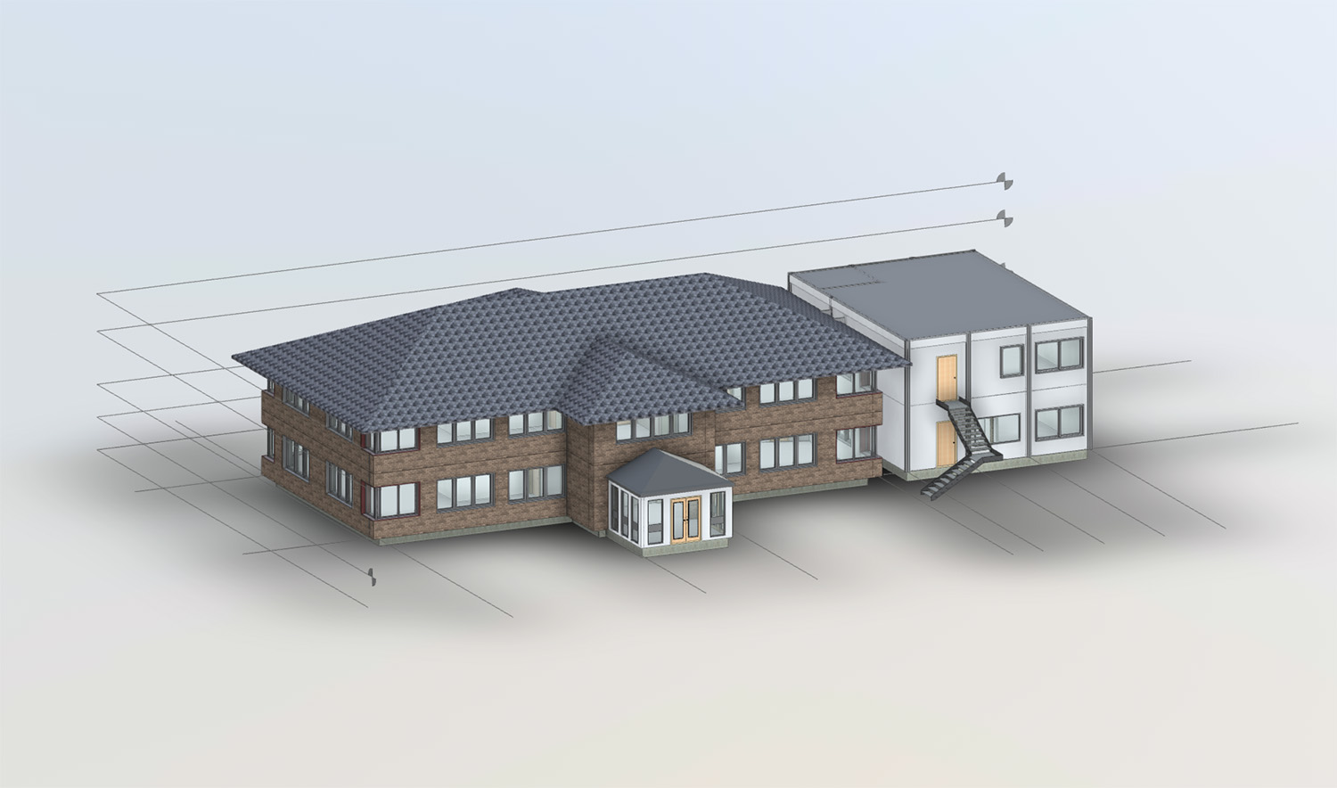
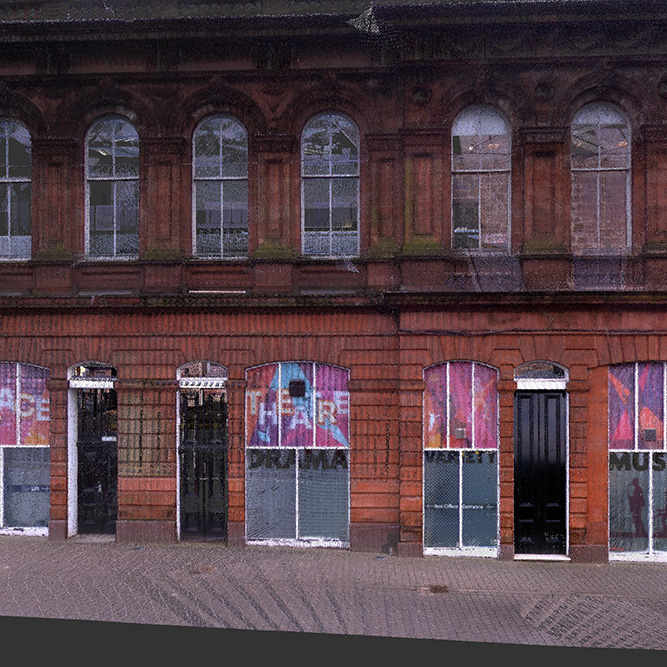
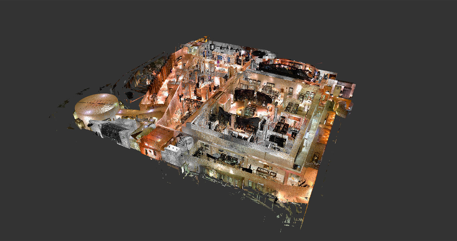
Providing the next step in the point cloud workflow, our in-house Revit modelling teams deliver highly accurate and reliable models for planning, design or managing any aspect of the real world environment.
Benefitting from the holistic approach of point cloud surveys, our Revit models can be produced to any Level of Detail required including the provision of surface MEP and intricate building features.
Whether you’re looking for a simple mass model or a full as-built model, Adaptive Surveys offer a variety of outputs to suit your needs and your project.
In addition to Revit models we also offer the following outputs:
